


Travel By Car, Bike or More!
Getting around Ozaukee County is easy, whether you're exploring by car, biking the famous 30-mile Ozaukee Interurban Trail, hiking our inland or lakeside trails or paddling our miles of winding waterways.
Nine Connected Communities
Explore by road, trail or waterway!
Settled along the rivers, creeks, and Lake Michigan shoreline, Ozaukee County grew from mill towns and trading centers into the charming communities visitors enjoy today. Named from a Chippewa word meaning “people who live at the mouth of a river,” the county still celebrates its 35 miles of waterways, historic architecture, and welcoming small-town character. Whether you arrive by car, bike, kayak, canoe, or even cross-country skis, adventure is never far away in Ozaukee County.
The Ozaukee Interurban Trail
30 Miles of Paved, Free, Year-Round Adventure!
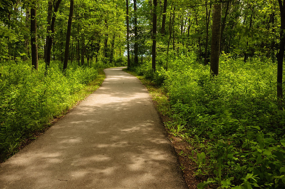
Stretching the length of Ozaukee County, the Interurban Trail is a scenic, family-friendly route for biking, walking, running, skating, and cross-country skiing. Travel through charming downtowns, parks, farmlands, and waterways, with plenty of opportunities to stop for local dining, wineries, festivals, and overnight stays along the way.
The OIT is free to all users year-round! For more about the OIT, click one of the logos below:


Route of the Badger
The Route of the Badger, launched in 2014 through Rails-to-Trail Conservancy (RTC), is an initiative to connect trails throughout Southeastern Wisconsin’s seven counties including Kenosha, Milwaukee, Ozaukee, Racine, Walworth, Washington and Waukesha. This network of trails currently consists of about 340 miles of existing trails. More information and a map showing how the OIT fits into the Route of the Badger initiative is available on the Rails to Trails website.
Great Birding Trail
The Ozaukee Interurban Trail was the first trail in the state to be designated a Great Wisconsin Birding and Nature Trail - it's a great place to spot raptors, waterfowl, shorebirds, warblers, and various songbirds. Hotspots include the Port Washington harbor, along Cedar Creek (near Cedarburg), and the Cedar Grove Waterfowl Production Area.
Paddling our Waterways
Water has always shaped life in Ozaukee County, and today it continues to provide endless opportunities for adventure. Launch a kayak on the winding Milwaukee River, paddle the scenic waters of Cedar Creek, or spend the day fishing, boating, and exploring the beautiful Lake Michigan shoreline. From peaceful nature paddles to breathtaking lake views, Ozaukee's waterways offer unforgettable experiences for outdoor enthusiasts of every skill level. For more information visit Milwaukee Riverkeeper, or view the Milwaukee Water Trail map here.
Discover Spectacular Parks & Natural Areas
Ozaukee County is home to some of Wisconsin's most scenic parks and natural treasures. Hike the dramatic bluff-top trails of Lion's Den Gorge Nature Preserve, enjoy sweeping Lake Michigan views from Virmond Park, or spend a day exploring the beaches, wetlands, and hiking trails of Harrington Beach State Park. Throughout the county, miles of trails, pristine forests, and protected natural areas invite visitors to reconnect with nature in every season.
Winter Adventures on Snowmobile Trails
When winter blankets Ozaukee County in snow, a new season of adventure begins. Hundreds of miles of interconnected snowmobile trails link Ozaukee County to neighboring destinations, creating easy access to scenic countryside, charming communities, and cozy stops along the way. Maintained by dedicated local clubs and volunteers, these trails offer riders a chance to experience Wisconsin's winter landscape at its very best. Download a snowmobile map here.


